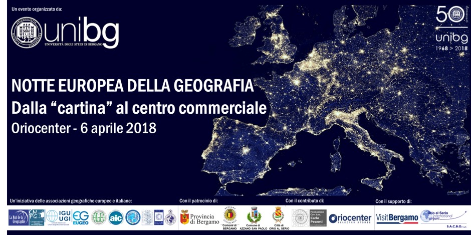
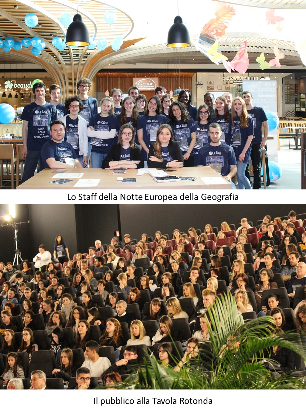
April 6, 2018, Bergamo, Oriocenter – The Bergamo edition of the European Night of Geography took place, entitled From the “Map” to the Shopping Mall, organized by the Center for Territorial Studies of the University of Bergamo, with the support of Fondazione Pesenti.
The European Night of Geography is an initiative promoted by EUGEO (European Association of Geographical Societies), AGeI (Italian Geographers Association), the Italian Committee of the IGU (International Geographical Union), and all other national and European geographical associations. The event includes a series of activities involving geographers, universities, labs, associations, and travel and tourism enthusiasts on the evening of April 6, 2018.
Stepping outside academic settings, geographers reach out to the general public to show what Geography has become and how it is today a strategic discipline to address challenges and issues related to urban regeneration, environment, mobility—in short, all the new social phenomena exhibited by the territory.
Geography has indeed changed the “glasses” through which it views the world and has abandoned the traditional “map” to represent it, devising innovative interactive and multimedia mapping systems.
The Bergamo event unfolded in four main parts:
- Roundtable on the role of the discipline in analyzing urban systems, public spaces, and the new concept of “inhabitant,” titled Is the Shopping Mall a Public Space?
- Exhibition area with mapping materials, infographics, and videos on environmental planning, international tourism, and urban planning and regeneration.
- Excursion titled Bergamo at Different Speeds: From the Magredi Landscape to the Parking Lots; a thoughtful itinerary from Oriocenter to Il Caravaggio International Airport in Orio al Serio to rediscover the value of slow mobility in a context of accelerated mobility and to trace the landscape evolution of the intermodal hub.
- “GeoMapLab”: a web mapping workshop organized around several PC and tablet stations to understand the programming of participatory systems and to build new maps using open-source GIS.
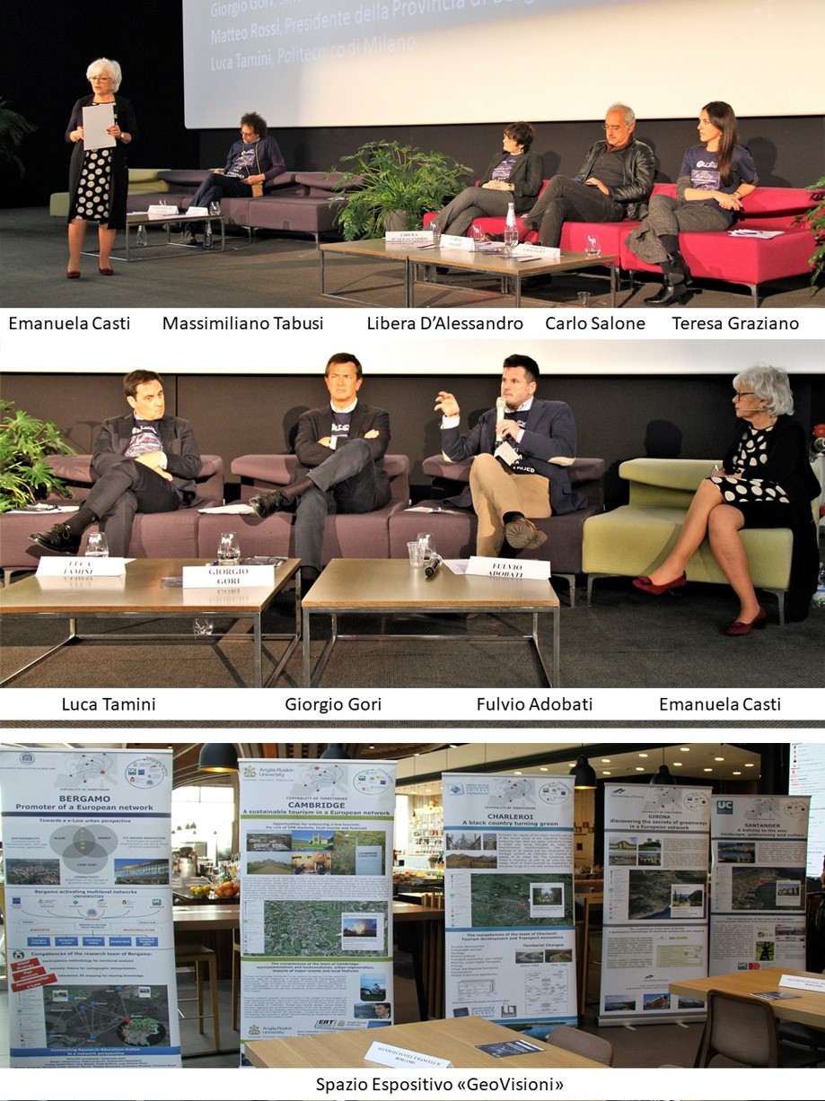
Roundtable: “Is the Shopping Mall a Public Space?”
 Program
Coordinator: Emanuela Casti, Director of the Center for Territorial Studies, University of Bergamo
Opening remarks: Giancarlo Bassi, President of the Oriocenter Operators Consortium
Speakers (Geographers):
Libera D’Alessandro, University of Naples “L’Orientale”
Giuseppe Gambazza, University of Milan
Teresa Graziano, University of Catania
Carlo Salone, University of Turin
Massimiliano Tabusi, University for Foreigners of Siena
Also featuring:
Fulvio Adobati, University of Bergamo
Giorgio Gori, Mayor of Bergamo
Matteo Rossi, President of the Province of Bergamo
Luca Tamini, Politecnico di Milano
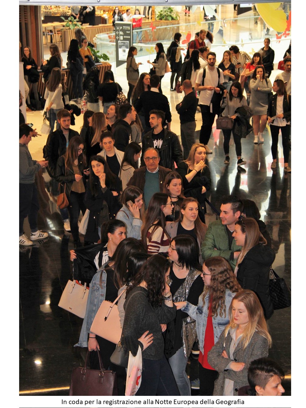
European Night of Geography
The choice of Oriocenter as the venue for the European Night of Geography is provocative and aims to show Geography’s contribution to analyzing the relationship between commercial activities and public spaces in the age of globalization.
It is about viewing the “city,” on one hand, as an “organism” no longer divided into center/periphery but rather as an osmotic system centered on mobility; on the other, as an international node embedded in a network intertwining local and global dynamics.
Using various communication forms (discursive, visual, hypertextual, and direct observation), the event highlights Geography’s role in analyzing urban transformations through mapping systems developed at CST-DiathesisLab of the University of Bergamo, including the one related to regeneration in Lombardy called RIFO (www.rifoit.org).
Oriocenter—connected to the Il Caravaggio International Airport—is one of the largest shopping centers in Europe, representing well its new role as a hyperplace that intercepts and brings together various forms of mobility (air, car, pedestrian) of inhabitants (citizens, tourists, commuters, migrants) for shopping, leisure, work, services, and cultural activities, positioning itself as a node of a new urban network in Bergamo and its territory.
CST-DiathesisLab Cartographic Laboratory
Founded in 2004 by Emanuela Casti, it is a research and innovation atelier studying cartographic systems from both theoretical and applied perspectives.
It experiments with a cartography that, abandoning topographic metrics (topos), proposes chorographic (chora) maps to create tools aimed at political and social goals, such as participatory local planning; in practice, a cartography conceived as a defensive tool for the rights of local communities against dominant corporations, fostering governance among stakeholders and addressing power asymmetries (Casti, 2013).
Its name, Diathesis, reflects this perspective: with the flexibility of the Greek language, it evokes Strabo’s “geographical description” and combines meanings of “organization” (arrangement, order) and “idea” (concept, quality), recalling the complexity of a social representation of space. Moreover, the preposition “δια” (dia) indicates motion, crossing, and causality, inseparable features of the contemporary world.
With the patronage of: Province of Bergamo, Municipality of Bergamo, Municipality of Azzano San Paolo, Municipality of Orio al Serio
With the contribution of: Fondazione Pesenti, Oriocenter
Supported by: Visit Bergamo, SACBO
Comunicato stampa Tavola Rotonda
Notte della Geografia Bergamo
Tavola Rotonda
www.unibg.it
ROUNDTABLE
INTERVIEWS